Poggio Aquilone – San Vito in Monte
Distance (km)
Elevation gain (m)
Between these two centers there were two connecting roads; until less than 100 years ago, San Vito was a Municipality and Poggio was its most important village.
We will travel the road that is probably the oldest of the two for a stretch and the other one for its whole length.
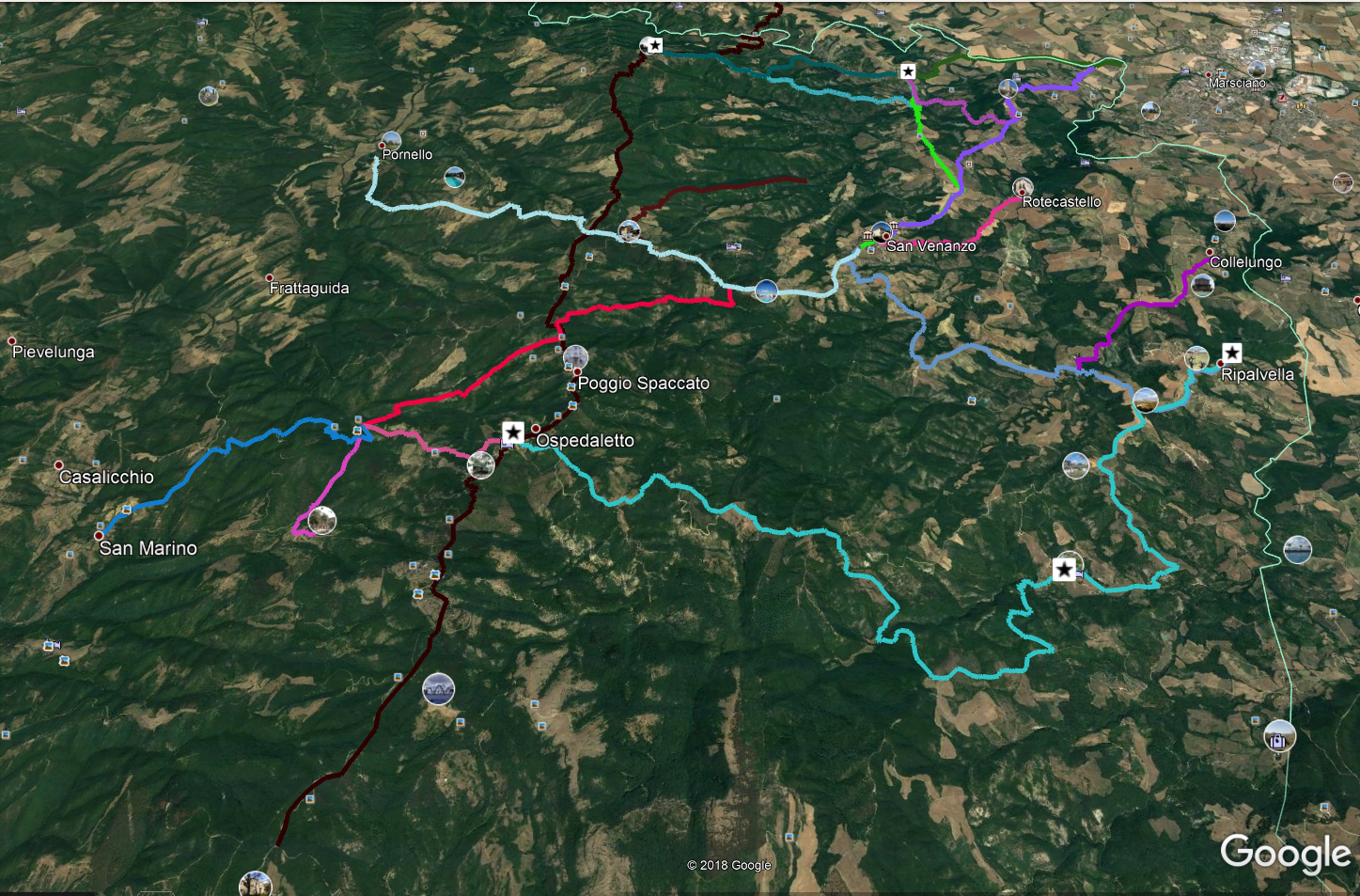
From Poggio Aquilone we take the only road that goes uphill (towards the Northwest); after 100 meters, on the left we find a widening from which a downhill dirt road starts (towards the West); we are on the oldest link. Along this downhill stretch we find some crossroads; we always proceed north-west downhill. After passing a very small ditch, our trail begins to climb, until we reach a gravel road which, on our left, approaches a recently renovated farmhouse; we follow it going closer to the farmhouse and, 30 meters before this, on our right we find the continuation of our track, still downhill. Now we have only one track, until we reach another gravel road, which we take to the left, soon reaching the Fersinone torrent, which we wade to continue then to the right (Northwest).
Never leaving the dirt road that runs alongside the torrent, in a way that is sometimes more, sometimes less evident, and that always goes towards the Northwest, we reach an asphalt road, near a bridge. We take it to the left for about 100 meters and then we leave it at a widening on our right, from where a dirt track starts, towards the West. We always follow it, until we arrive on another road, always a dirt road, which we will take to the right (West). It will take us to the Acquaforte Spring.
Looking at the Source, our route climbs to the left; always going uphill we reach Baccano (San Vito in Monte).
From here we proceed on the Provincial road that leads to Migliano (towards East) until we find on our left a small road towards the cemetery. We take it, we go along the cemetery and continue eastwards, downhill, to then return to the asphalt road. We reach a sharp left curve at the beginning of which we find a dirt road in front of us, going downhill. It is our track; we will never have to leave the most obvious path. We thus reach an abandoned farmhouse (Podere Piano) and continue downhill until we reach the Fersinone Torrent.
If this is wadable (in Summer), we cross it and continue towards Poggio Aquilone which stands in front of us. Otherwise we wade the smallest tributary in front of us, we go up following the small road that leads us to the edge of a field; now the track is not there but leaving the stream on our left and continuing East, after about 200 meters we find a gravel road that we take to the left. We cross the bridge and continue to the right.
Here we have two possibilities: the simplest is to follow the current road, with hairpin bends. The most faithful to the past is steeper; to follow it, just keep an eye on the track. Soon we will be in Poggio Aquilone.
DICHIARAZIONE DI NON RESPONSABILITÀ: facciamo ogni sforzo per assicurare che le informazioni presenti su questo sito siano accurate. Tuttavia le condizioni possono cambiare quindi ricordiamo sempre che gli utenti sono responsabili per la propria sicurezza.
