Rotecastello
Distance (km)
Elevation gain (m)
For this route you need the map downloaded on your mobile or GPS.
Charming medieval village; a tour throughout its narrow roads is highly recommended.
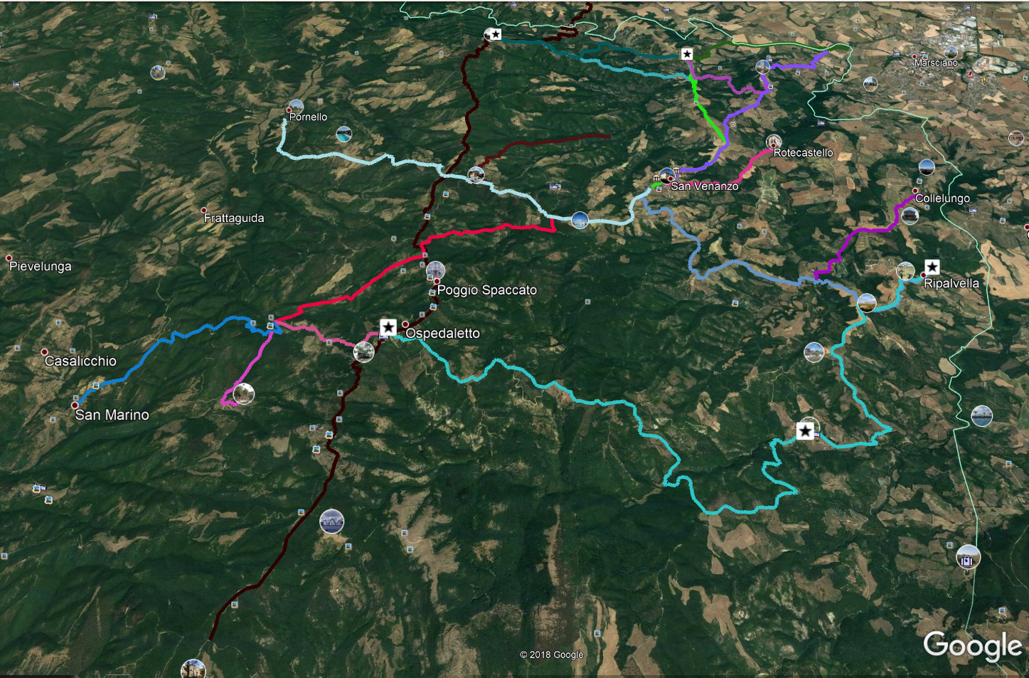
Our ring begins on the Provincial road, which we take downhill, towards the East; we cross the bridge over the Faena stream, we continue uphill and, at the second hairpin bend, we take a downhill white road towards the north. In short it becomes a dirt road.
We must be careful: after traveling 1.45 km from the start, we must leave the road going downhill to the right and take a less evident track in front of us. In addition to the track on our device, it can help us to observe that this track proceeds on the ridge towards the northwest, while the one we have to leave continues halfway up the hill towards the east.
Always following this dirt track we will arrive, after a descent, on the plateau that runs alongside the Faena stream where a track on the grass runs alongside the river bed, bending towards the South; thus we arrive at the ford, beyond which, after a climb, we will find ourselves just outside Rotecastello.
DICHIARAZIONE DI NON RESPONSABILITÀ: facciamo ogni sforzo per assicurare che le informazioni presenti su questo sito siano accurate. Tuttavia le condizioni possono cambiare quindi ricordiamo sempre che gli utenti sono responsabili per la propria sicurezza.
